Solution:
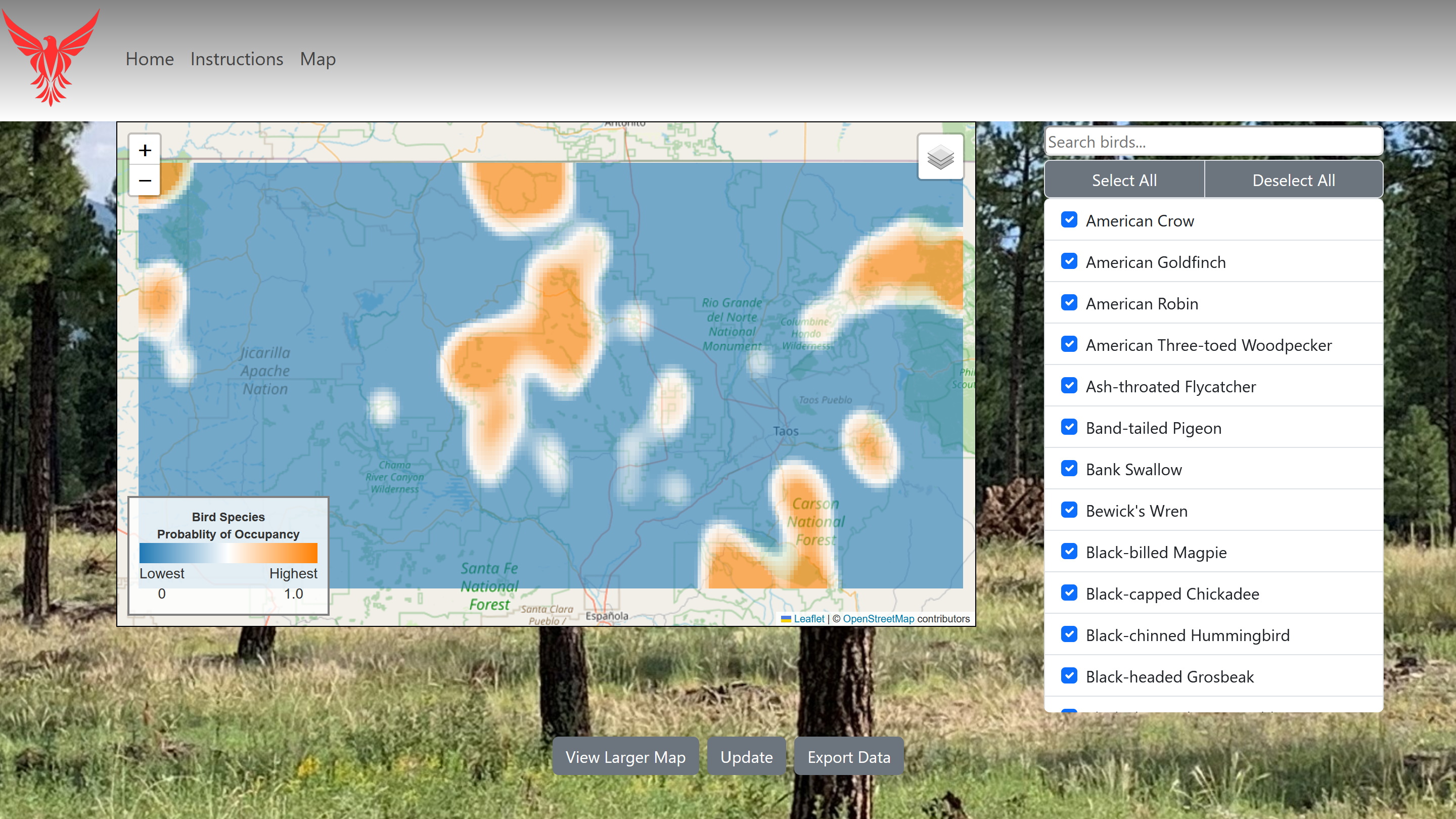
FireFlight is a web-based application designed to assist forest service managers and researchers to easily visualize and understand predicted bird presence data. Calculated from data collected over the past ten years, this tool will help the Forest Service to decide which management methods are the most effective, and how often they should be used.
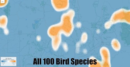
Key features include an interactive map showing the predicted bird presence for an area, and the option to export the displayed results as an easy to read CSV file. The map features a heat map overlayed onto a map of the United States, with a legend that explains the color scale of the heat map. Using the querying options, different data on different bird species can be displayed and exported using our tool.
Our application:
Examples of different species predicted presence: